This is Alex Marienthal with the avalanche forecast on Sunday, April 6th, at 7:00 a.m. sponsored by Cooke City Super 8/Bearclaw Bob’s and Avalanche Alliance. This forecast does not apply to operating ski areas.
This morning temperatures are high teens to low 30s F. Wind has been from the southwest and northwest at 5-25 mph with gusts of 25-35 mph. There has been no new snow over the last 24 hours.
Today will be sunny with temperatures reaching high 30s to mid-40s F, 5-10 degrees warmer than yesterday’s high temperatures. Wind will be calm to light, 5-15 mph, out of the west and northwest. Tomorrow looks warmer than today, and tomorrow night colder air brings a chance for light snow showers through Tuesday.

All Regions
Today the two main avalanche problems you might encounter are wind slab avalanches and wet loose avalanches. Yesterday in the Bridger Range, wind slab avalanches were triggered by skiers (Saddle Peak, The Great One), and some loose snow avalanches ran naturally (photo). I had similar observations near Cooke City where wind slabs were notably more reactive than expected, despite having had some time to stabilize since snowfall tapered off a couple days ago.
Don’t trust old drifts today, and expect any fresh drifts to be easy to trigger. These wind slabs are relatively small, but can easily knock you over and be harmful if they carry you into rocks, over a cliff, or down a long steep slope. A textured or rounded snow surface is a sign the snow has been drifted into a stiffer slab. Be cautious of wind-loaded slopes, especially in terrain where being carried in even a small slide would have high consequences.
As sunshine and above freezing temperatures melt the snow surface, wet loose avalanches will become possible to trigger and some may run naturally. Soft snow from last week is sitting on firm crusts which could cause wet loose slides to be pretty big and run far. Temperatures are starting warmer and will be higher than yesterday which will probably cause the snowpack to lose strength earlier in the day, and get wet deeper into the snowpack and on slopes that remained dry yesterday.
Expect the snow surface to get weaker through the day, especially on slopes that receive direct sunshine. Sunny slopes will have a crust this morning. Plan to be off steep slopes before the crust melts or the surface gets wet. Moist sticky snow or roller-balls on the surface mean it is time to find lower angle terrain or slopes with colder, dry snow on the surface.
The sunshine and heat will also make cornice falls possible. Along ridgelines, overhanging drifts of snow have become large. As these cornices melt and lose strength they could break naturally or under the weight of a person. Minimize your time on slopes below cornices and stay far back from the edge while travelling on ridgelines above them.
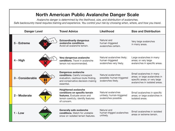
The avalanche danger is MODERATE across the forecast area.
Our observation submission platform has been having technical issues. If you encounter an error, please email your observations to mtavalanche@gmail.com or send a message to @mtavalanche on Instagram or Facebook.
Hyalite Road Closure
The Hyalite Canyon Road is closed to ALL MOTORIZED VEHICLES until the morning of May 16. This is a regular annual road closure to reduce road damage during the spring thaw. Bicycle and foot traffic are allowed. Contact the Bozeman FS Ranger District for more info.